To provide you with the best experience, cookies are used on this site. Find out more here.

To provide you with the best experience, cookies are used on this site. Find out more here.

To build your own Itinerary, click  to add an item to your Itinerary basket.
Already saved an Itinerary?


You are here: Home > Visitor Information > Maps
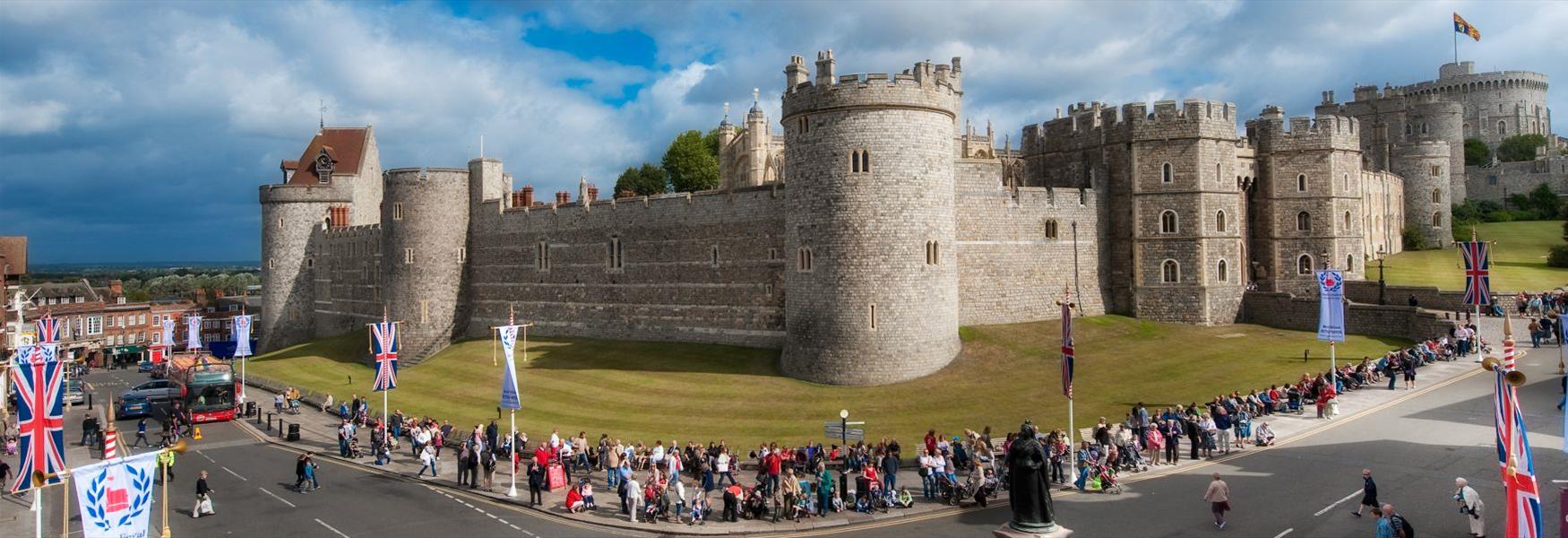
Windsor is perfectly located 30 miles west of London and 12 miles from London Heathrow Airport.
Are you coming to visit us and want to familiarise yourself with the Royal Borough of Windsor and Maidenhead before your trip?
Do you want to see where everything is in relation to your accommodation or in relation to our wonderful attractions or an event you are going to attend?
Everyone loves a useful map and we have a free town map & guide to visitor attractions to help you get the most out of your visit.
The two towns of Windsor & Eton are just separated by the River Thames and the leaflet includes a map showing the shopping areas, car parks, open spaces, train stations, cycle racks and the main attractions to visit. The leaflet also includes a map of the wider Windsor, Maidenhead and Ascot area.
If you are going to enjoy the area by boat on the River Thames have a look at our Thames Trail Map showing the location of riverside towns, attractions and distances between locks.
Ratings & Reviews
Powered By
![]()

Want to receive Windsor tips, ideas and inspiration? Subscribe to our enewsletter!
Want to hear more? Sign UpX
In partnership with

© Royal Borough of Windsor and Maidenhead 2025. All Rights Reserved